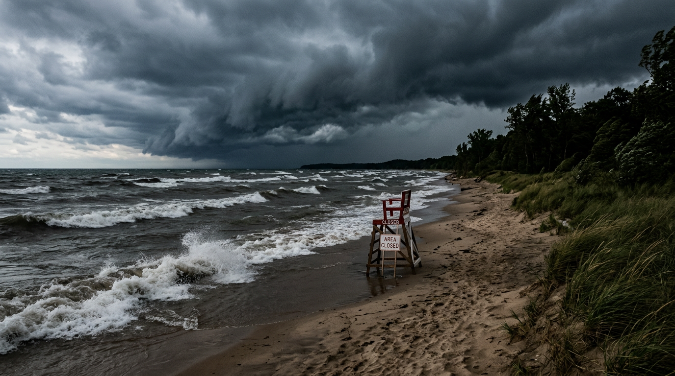
The National Weather Service issued a flood watch for Cook County on Wednesday, June 17, warning North Shore residents to prepare for flash flooding as two rounds of severe storms move through the region between 10 a.m. and 9 p.m.
The storms are capable of dropping up to 2 inches of rain per hour in the hardest-hit areas, according to the NWS. Soil moisture is already high and stream flows elevated across the region, meaning creeks, streams, and low-lying areas could flood rapidly.
Glencoe Park District closed Glencoe Beach and the waterfront on Wednesday due to the weather. A separate beach hazard warning for Lake Michigan warns of 4- to 7-foot waves and dangerous currents along the North Shore lakefront. At 10:42 a.m., a special marine warning was issued for waters from Winthrop Harbor to Wilmette Harbor and south to Northerly Island, citing a squall of strong winds and rough seas.
NWS forecasters said the first wave of storms began Wednesday morning. The second round, expected in early afternoon, poses the greater danger, with winds exceeding 75 mph, large hail up to 2.5 inches in diameter, and possible tornadoes. The Storm Prediction Center placed the Chicago area under a Level 3 out of 5 severe storm risk.
The threat comes six days after a tornado outbreak on Thursday, June 11, produced multiple strong tornadoes across northern Illinois and northwest Indiana, according to the NWS Chicago office.
Residents near creeks and low-lying areas should monitor weather.gov and be ready to move to higher ground. The flood watch expires at 9 p.m. Wednesday, June 17.